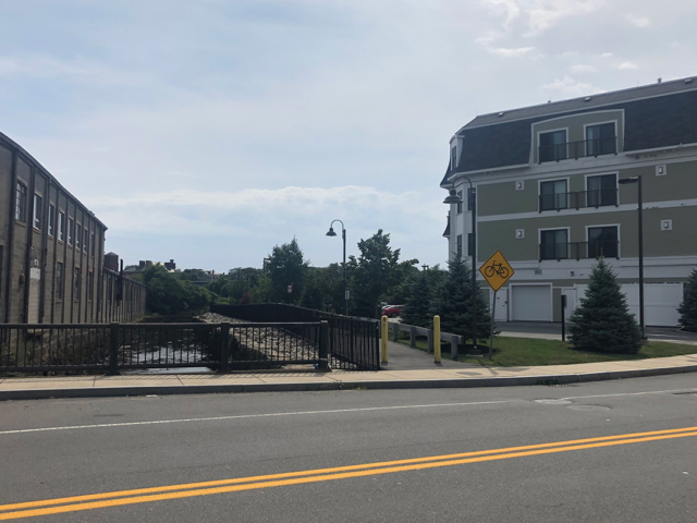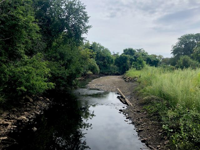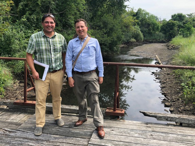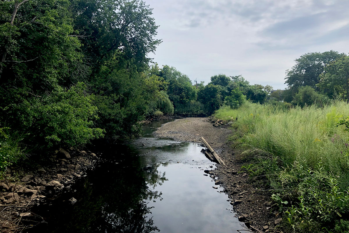
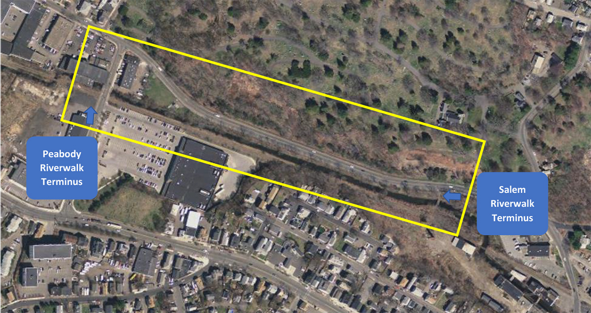
In 2012, Salem and Peabody, neighboring Gateway Cities, created a vision for a multi-use path connecting the two communities along the North River that would create a continuous pedestrian greenspace from Peabody Square to the Salem Depot MBTA Commuter Rail Station. With support from the Solomon Foundation, in 2020 Peabody and Salem are collaborating on a feasibility study to look at options for connecting the final gap in the greenway to link their downtowns.
Background: Through an EPA Brownfield Coalition Assessment Grant, in 2012 Peabody and Salem partnered to complete the Riverwalk Visioning Study, to create a vision for a Riverwalk between the communities along the North River that would create a continuous pedestrian greenspace from Peabody Square to Salem MBTA Commuter Station. Also, since the river is prone to flooding, improvements to this corridor can also create solutions to manage stormwater and reduce flooding. Since the completion of this visioning study, both communities have been building out their multiuse path network to connect neighborhoods, downtown areas, major destinations, and to connect to the regional path network expanding through neighboring communities.
Both communities have built substantial momentum toward developing their greenways city-wide and connecting to Essex County’s regional trail network system. In spring 2019, City staff from Salem and Peabody participated in a Border to Boston Trail workshop discussion to address greenway “gaps” between North Shore communities. The cities were encouraged by the Massachusetts Department of Transportation (MassDOT),the Metropolitan Area Planning Council (MAPC), and the East Coast Greenway Alliance to explore the potential of a multi-use connection parallel to the MBTA rail line. This resulted in the Cities partnering on a grant proposal and securing funding from the Solomon Foundation to hire a consultant to evaluate the feasibility of two potential greenway alignments, provide a recommended preferred alternative alignment, and develop a concept plan to guide the path, design, and eventual connectivity between the two communities.
Timeline
| Date | Milestone |
| 2012 | Salem and Peabody Neighboring Gateway Cities created a vision for a multi-use path connecting the two communities |
| 2013 to present | Sections of path are complete in phases |
| 2019 | MAPC, the East Cost Greenway Alliance, the Solomon Foundation, and Northshore communities convene to identify greenway opportunities including finishing the gap in the Riverwalk |
| 2020 | With support from the Solomon Foundation, Peabody and Salem begin to collaborate on a feasibility study to look at two potential greenway routes |
Project Details
Initiated
- 2012
Solomon and Barr Investments
- $30,000
Partner Investments
- $479,000
Estimated Cost to Complete
- $5,000,000
Key Partners
Consultants
Status
- Feasibility completed in 2021
Press
- Riverwalk plan gains steam in Peabody and Salem
- Peabody, Salem Awarded $150,000 State Grant For Riverwalk Project
Documents
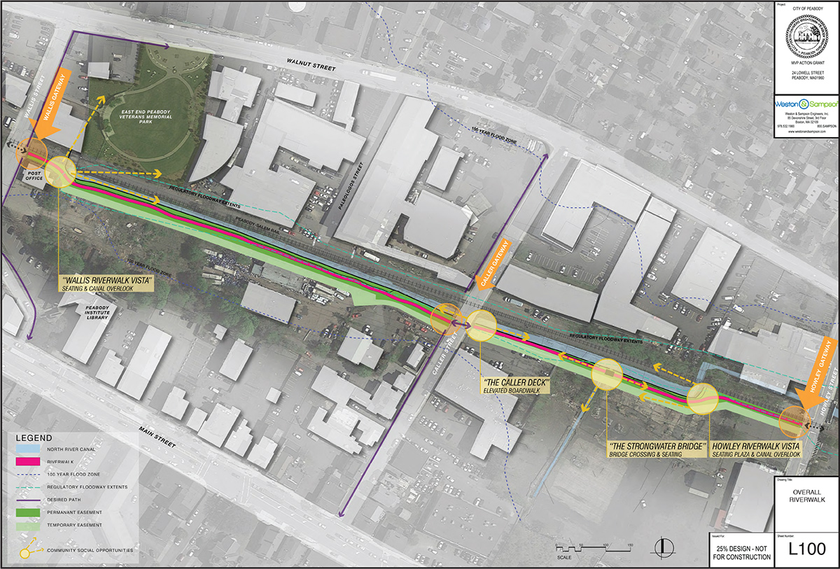
- Peabody North River 25% Landscape Plans


